Fires near me
Find every active wildfire within 100 miles of you — distance, size, containment — with the air quality and fire-weather alerts for your spot.
Your location stays in your browser — it is only sent to the public data services to look up fires and air quality around you.
Browse by state
How to read the results
Distance is measured in a straight line from you to the point where the fire started, not to the fire's edge — a large fire's edge can be much closer. Red markers are fires under 50% contained, amber 50–99%, grey fully contained but still listed. Wind direction tells you where smoke and embers are heading: a fire upwind of you matters more than one at the same distance downwind.
If you are told to evacuate, go — don't wait to see the fire. Orders come from your county sheriff or emergency management; this page can't replace them.
Questions
Is there a fire near me right now?
Tap “Use my location” above: the list shows every active wildfire within 100 miles from official incident reports, nearest first, with acres and containment.
How accurate is the fire location?
Each fire is plotted at its reported point of origin. Large fires can spread many miles from that point, so treat the distance as a guide and check the agency's perimeter map for large incidents.
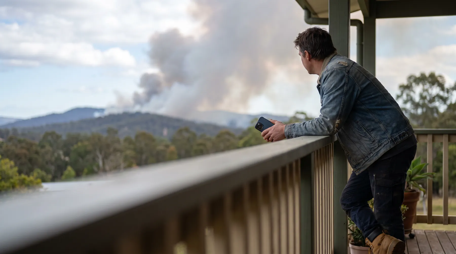
Why don't I see a fire I can see smoke from?
Smoke can travel hundreds of miles, and brand-new fires can take a few hours to enter the national incident system. The smoke and air quality panel shows what you are breathing regardless of where the fire is.
Get alerts before the smoke arrives
Wildfire Tracker for iPhone: fires near your saved places, containment, wind direction and air quality — with alerts only for fires that are actually active. Free, no account.